Search:
Powered by
Website Baker
Clearing and restoration continues on Historic Byram's Ford Road |
| Posted by The Muse (themuse) on Dec 26 2014 |
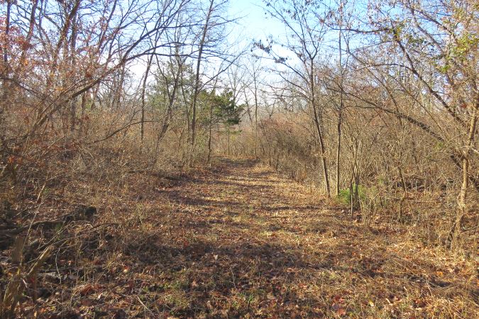
I spent a couple of hours on Christmas day and "finished" clearing the brush from the Historic Byram's Ford Road located just east of Hardesty Avenue in Kansas City, Missouri. There is still a little bit of brush to clear at either end of this stretch of the road, but in total is less than 30 minutes of effort. Here is a map showing the path of the Historic Byram's Ford Road east of the Big Blue River. This section of the road is about 1,200 feet from the river to the top of the hill with a change in elevation of about 100 feet.
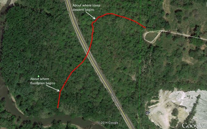
The cul-de-sac you see in the upper right of the image no longer exists. It was the end of 58th Street in Kansas City, Missouri. There used to be a bridge over railroad tracks about one block east of the cul-de-sac. The bridge fell into disrepair and was condemned. The neighborhood of about five or six houses were purchased by the city of Kansas City because it was cheaper than rebuilding the bridge. The pavement of 58th Steet and the houses west of the railroad tracks are no longer there. But you can see that 58th Street in this area followed the route of the Byram's Ford Road.
This section of the Byram's Ford Road is located on the Big Blue Battlefield Park, which is listed on the National Register of Historic Places. I, along with other volunteers, have been working with the Monnett Battle of Westport Fund to implement their plans to restore the Big Blue Battlefield. The section I just finished clearing is between Hardesty Avenue and the former cul-de-sac. Next up is the section of the road between Hardesty Avenue and the Big Blue River.
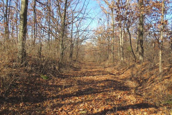
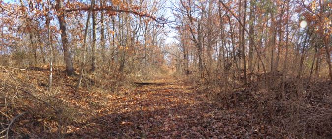
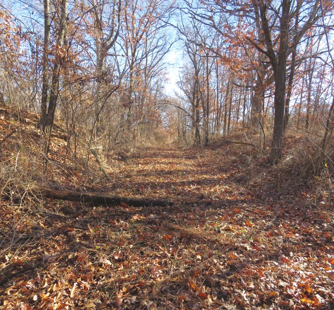
Here are some more photos taken along the newly cleared Historic Byram's Ford Road.
Last changed: Dec 26 2014 at 12:44 PM
Back