Search:
Powered by
Website Baker
Long Stretch of Historic Byram's Ford Road cleared of brush |
| Posted by The Muse (themuse) on Dec 10 2017 |
Well, theCivilWarMuse was out on the Historic Byram’s Ford Road yesterday doing some brush clearing and was pleasantly surprised to find that a long stretch the road west of the Pepsi Beverages Company had been recently cleared—and then some.
The historic road passes through the rock ledge south of the Pepsi Beverages complex before turning to the north at the base of Bloody Hill. The road heads north-northwest for about 500 feet where it turns west, just west of the Pepsi Beverages complex. From there it continues west toward Elmwood Avenue.
As part of our long term Big Blue Battlefield trails plan, the Monnett Battle of Westport Fund was planning to clear a walking trail along the Byram’s Ford Road all the way to Elmwood Avenue. But that was going to be done in Phase 2—certainly not this fall and winter. But all that has changed now.
There is a power line running east west that parallels the path of the Historic Byram’s Ford Road at this location. It seems the power line company was in doing some of their own maintenance and have cleared the brush and trees away from their power lines. Coincidently their work has also cleared the Historic Byram’s Ford Road all the way to Elmwood Avenue.
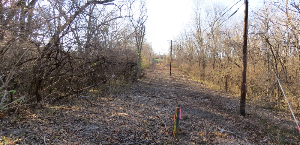
We owe a debt of gratitude to whoever did this work. They were careful (note the flagging tape in the first photo below) to not disturb the two marker posts (#9 and #10) put in place for the original Big Blue Battlefield Walking Tour.
I guess theCivilWarMuse is going to have to order some more trail signs.
|
This view looks west down the Historic Byram's Ford Road just west of Pepsi Beverages Company. The old Big Blue Battlefield Walking Tour marker post #10 is in the foreground. The green off in the distance is a vacant lot on the west side of Elmwood Avenue. |
|
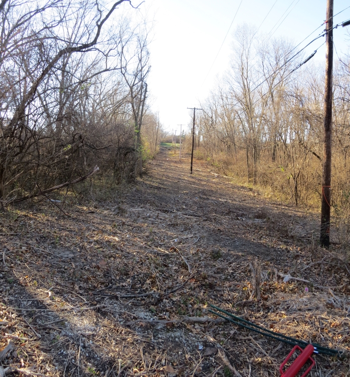
This view looks west down the Historic Byram's Ford Road just west of Pepsi Beverages Company. The green off in the distance is a vacant lot on the west side of Elmwood Avenue. |
|
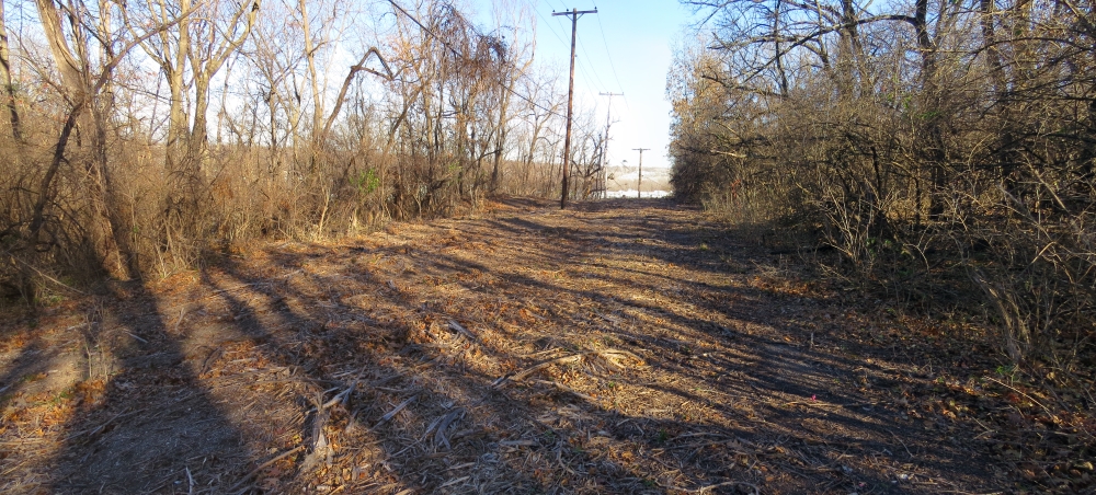
This view looks east down the Historic Byram's Ford Road toward the Pepsi Beverages Company. |
|
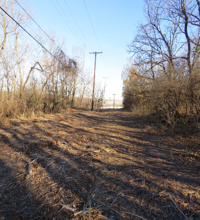
This view looks east down the Historic Byram's Ford Road toward the Pepsi Beverages Company. |
Last changed: Jul 08 2018 at 10:13 AM
Back


